Canyon Road Was a Pueblo Trail Before It Was a Gallery Street
The road that became Santa Fe's art corridor started as a footpath to the mountains, then an irrigation spine — and both roles outlasted the colonial era.
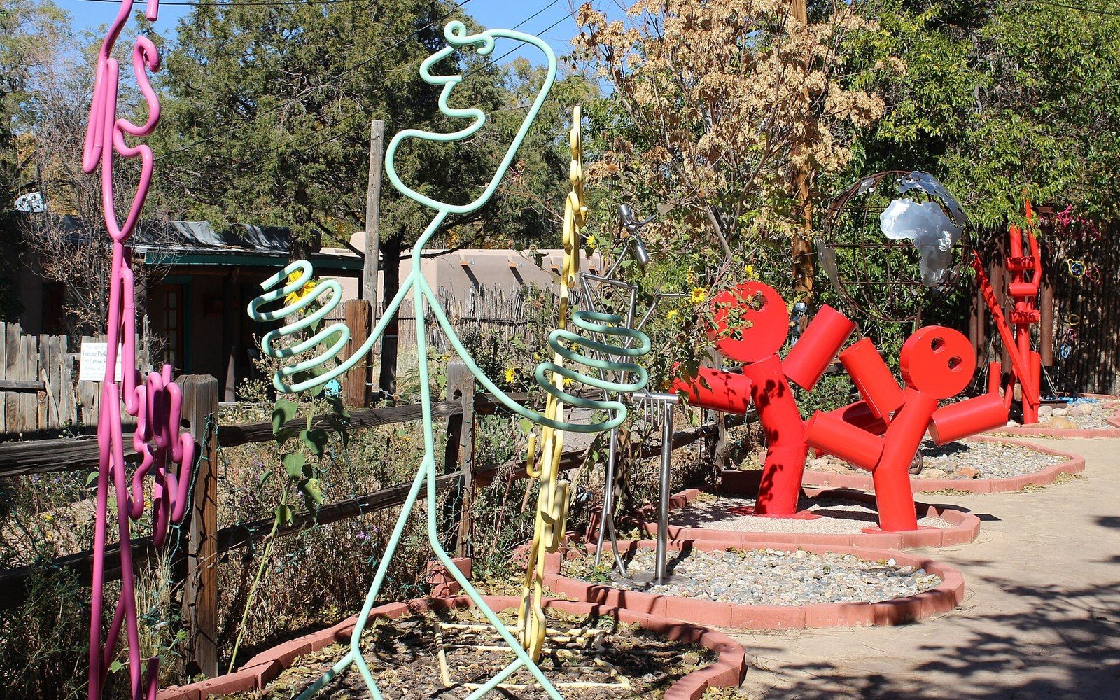
Photo: Wikimedia Commons
From Footpath to Farming Route
Long before the Spanish established Santa Fe as a colonial capital in 1610, Pueblo peoples moved along the base of the Sangre de Cristo foothills on a trail that hugged the course of the acequia — the community-managed irrigation ditch — running from the mountains toward the Rio Santa Fe. The canyon route was not incidental to the landscape; it followed water logic, rising gently along the drainage that made cultivation possible in an arid basin above seven thousand feet. Archaeological evidence and the land-grant documentation gathered in the Palace of the Governors ↗ collections confirm continuous Indigenous use of the corridor before any Spanish survey touched it.
When colonial settlers began formally occupying lands east of the plaza in the seventeenth century, they inherited a corridor already shaped by foot traffic and water management. The acequia madre — the mother ditch — that fed the fields along what would become Canyon Road drew from mountain snowmelt, and the path beside it served whoever worked those fields. Irrigated plots here grew the staple crops of the contact-period Southwest: corn, beans, and squash — the three sisters of Pueblo polyculture — alongside the wheat and orchard stock the colonists brought north along the Camino Real de Tierra Adentro, the supply road from Mexico City that reached Santa Fe over a distance of roughly 1,500 miles.
The 1680 Pueblo Revolt interrupted Spanish occupation of Santa Fe for twelve years. When the Spanish returned under Governor Otermín's successor Domingo Jironza Petriz de Cruzate and eventually consolidated again under Governor Diego de Vargas in 1692, the agricultural infrastructure along Canyon Road had to be rebuilt. The acequias were recleared, land grants re-assigned. The road's function as an agricultural access route was reaffirmed in the process — not invented.
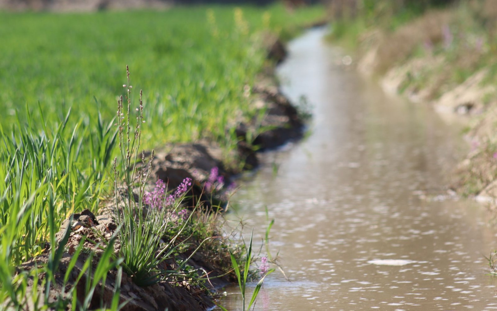
The acequia that made the corridor farmable still runs under parts of it.
Photo: Dr Photographer / Pexels
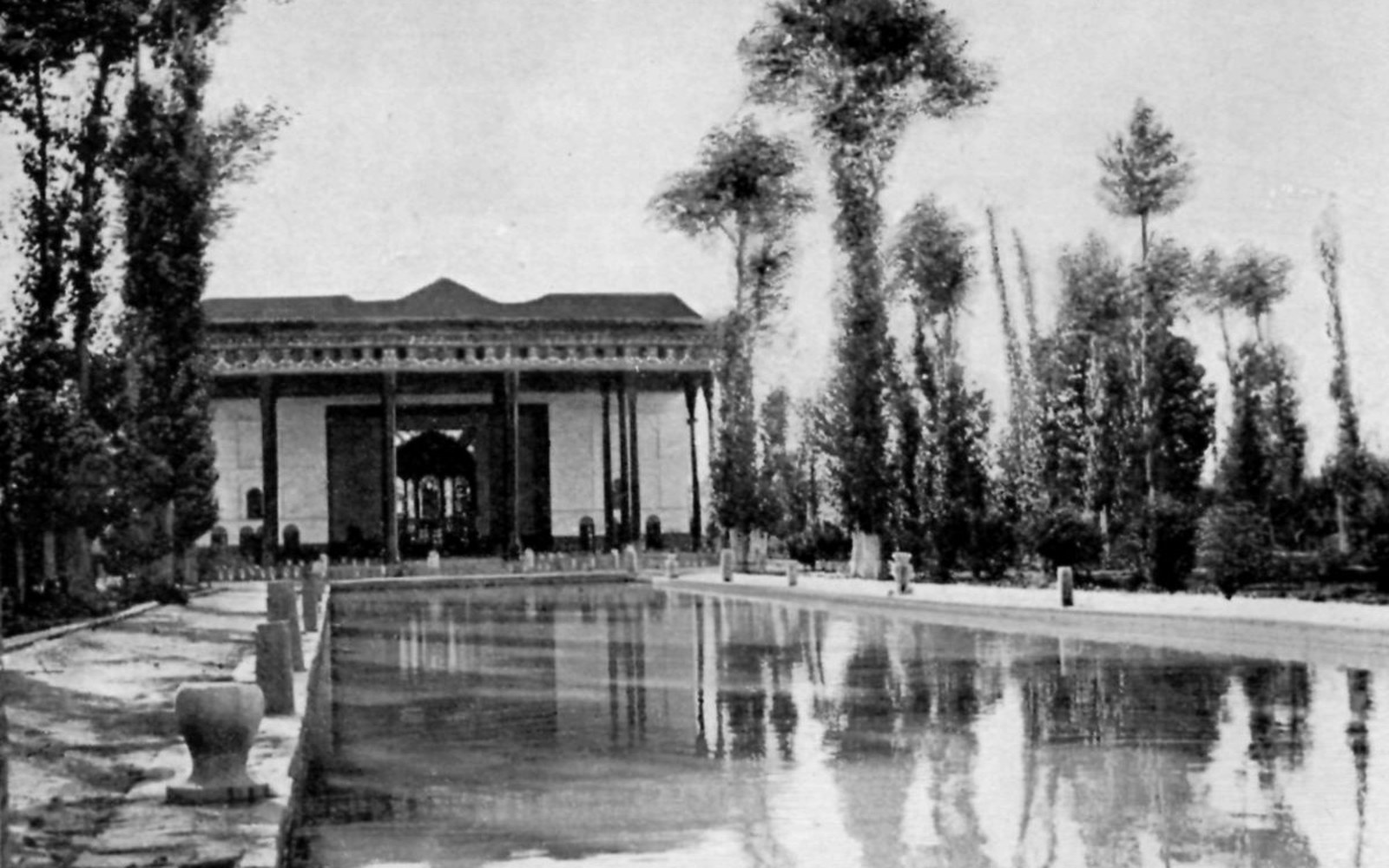
The road ran to the Plaza, which is what a trail is for.
Photo: Wikimedia Commons
The Art Market's Arrival
The transformation of Canyon Road from a working agricultural lane into an arts district happened gradually across the first half of the twentieth century, not in a single moment. Artists began settling its adobe compounds in the 1920s, drawn partly by cheap rents, partly by the quality of light the Sangre de Cristo foothills produce in afternoon, and partly by the same remoteness from the commercial grid that had made it agricultural land in the first place. The road was unpaved well into the mid-twentieth century. Chickens and kitchen gardens occupied the same properties that would later hold sculpture courts.
The Santa Fe art colony that took shape after 1917 — when Edgar Hewett and the School of American Research began promoting New Mexican material culture to outside collectors — gave Canyon Road's informal artist population a commercial frame. Galleries followed studios. By the 1950s and into the 1960s, the economics of the corridor had shifted decisively: property values climbed, the last working fields gave way to exhibition rooms, and the acequia that had defined the road's function for centuries was reduced in scope, its agricultural role spent.
What remained was the physical form the water had made. Canyon Road's characteristic irregularity — its curves, its compressed width, the way properties step against the slope — is not picturesque accident. It is the record of an irrigation corridor, a path that followed the grade a ditch required. The adobe walls facing the road were built against the sun because the farmers who built them needed warm south-facing interiors and shaded growing areas. The art market did not design this street; it occupied a form that water and cultivation had produced over centuries.
That distinction matters to anyone serious about reading the built landscape of northern New Mexico. The galleries are real, and some have operated long enough to constitute their own history. But the street beneath them is older, and its shape carries the logic of an acequia society — one whose Pueblo agricultural foundations predated the colonial period and whose irrigation habits outlasted the colonial government that inherited them.
Also in Ground